
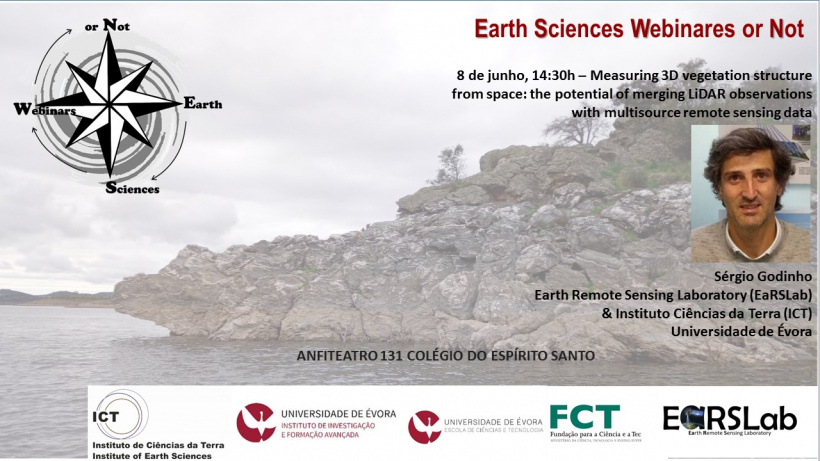
Terça-feira, 8 de Junho, 14:30
Seminário Measuring 3D vegetation structure from space: the potential of merging LiDAR observations with multisource remote sensing data
Sérgio Godinho, Earth Remote Sensing Laboratory (EaRSLab) & Instituto de Ciências da Terra (ICT), Universidade de Évora
Presencial
Anfiteatro 131 Colégio do Espírito Santo